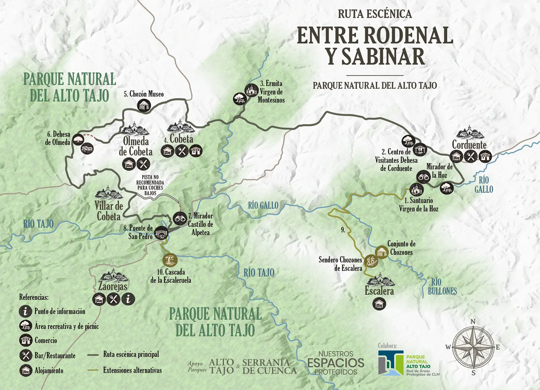
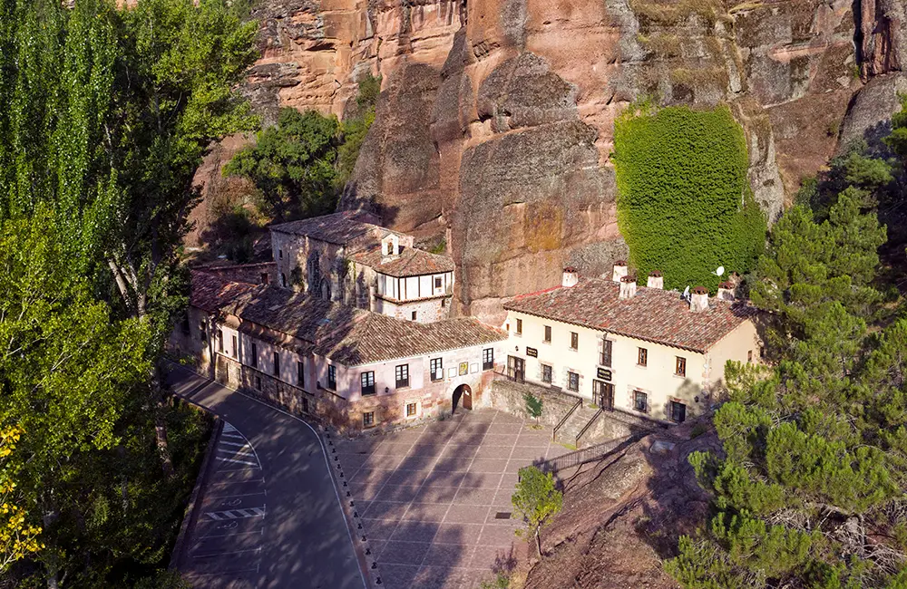
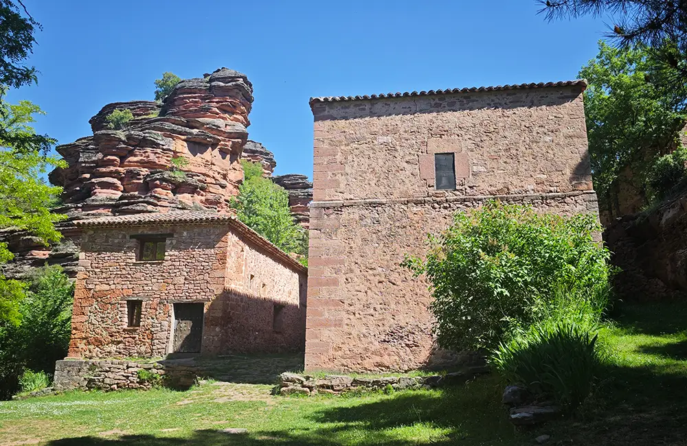
This route offers an insight into the diversity of landscapes, villages and geological formations in the north-eastern part of Alto Tajo Natural Park. It begins in the Gallo River canyon, among red sandstone cliffs, with the Sanctuary of Virgen de la Hoz at its foot. Along the road towards Corduente, you can visit the Natural Park Visitor Centre. We then continue along a road surrounded by oak trees before descending to the picnic area at the Sanctuary of Virgen de Montesinos, set in the orange-coloured ravine of the Arandilla River.
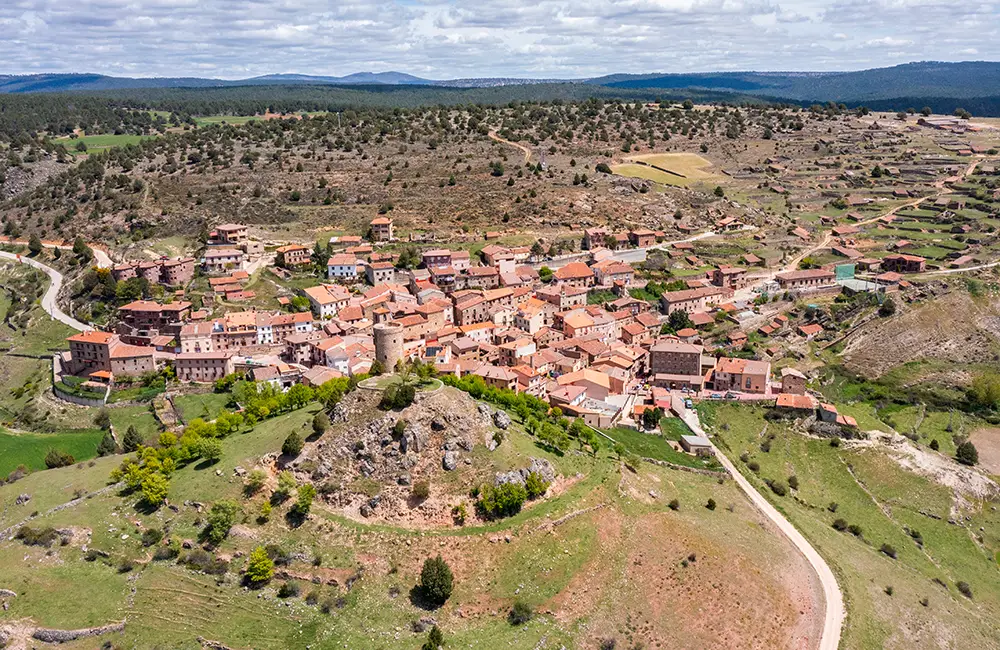
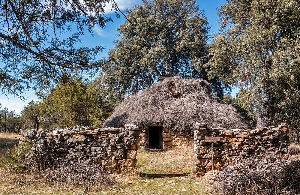
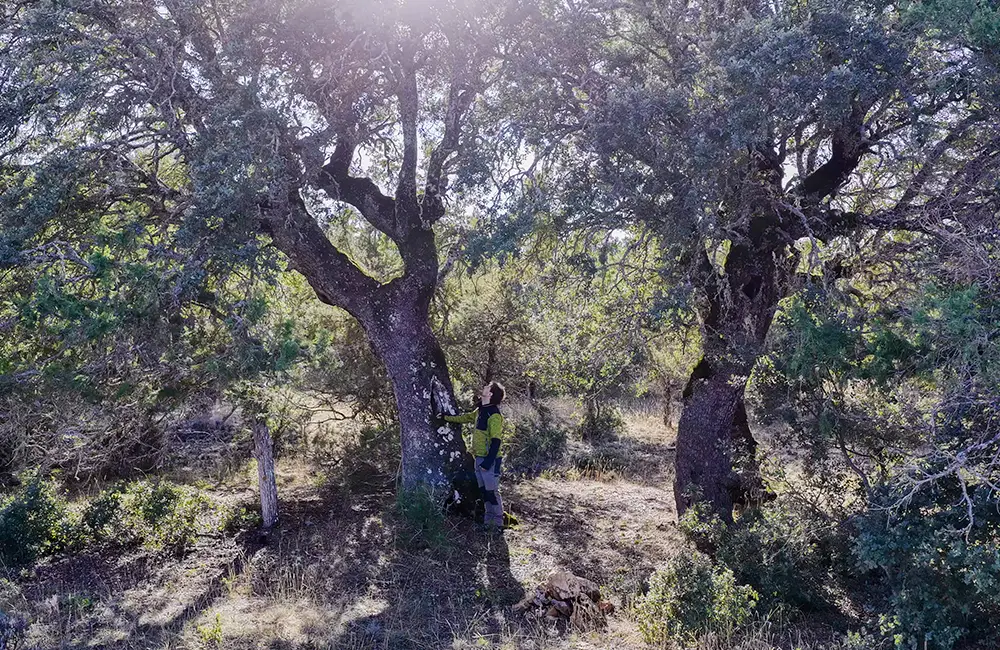
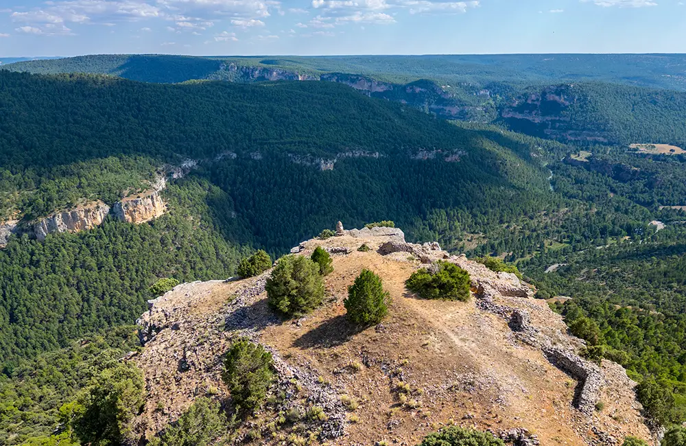
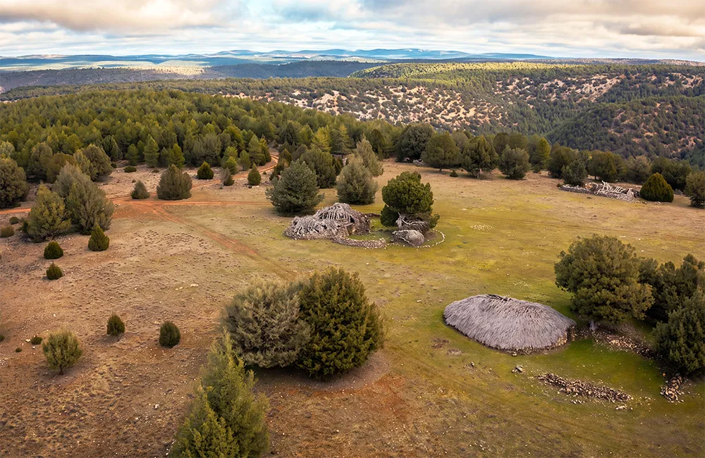
We continue through the picturesque villages of Cobeta and Olmeda de Cobeta. Between the two villages, we will see one of the best-preserved traditional juniper shepherds’ huts in the area. In Olmeda, you can walk through an open woodland dotted with monumental trees, alongside the remains of a Celtiberian hillfort. After passing the village of Villar de Cobeta, you can take a dirt track to Alpetea Castle, which offers one of the most spectacular views in the Natural Park, next to the remains of Civil War trenches.
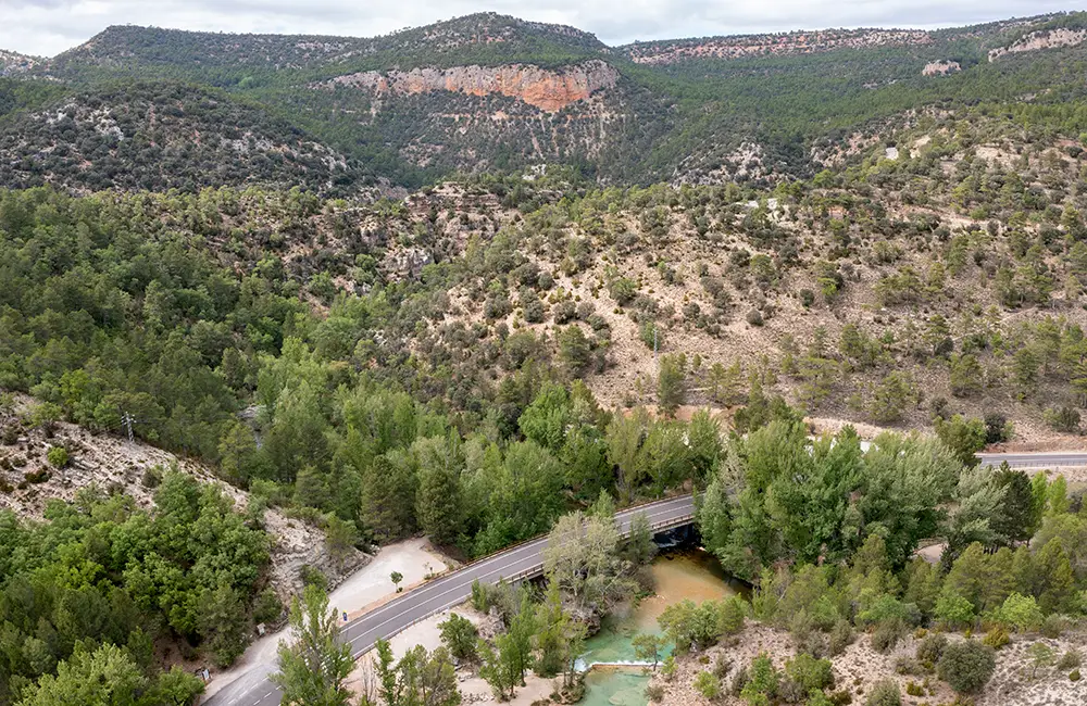
We then return to the road and descend towards the Tagus River along a picturesque, narrow and winding road, from which there is a spectacular view of a U-shaped meander in the river, set within a limestone landscape. The route ends at San Pedro Bridge, where the Gallo and Tagus rivers meet, a few kilometres from the village of Zaorejas.
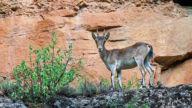
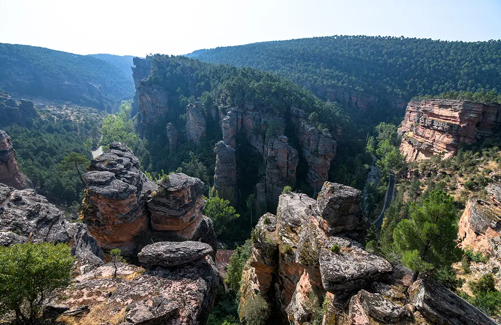
Sanctuary of Virgen de la Hoz 1: A spectacular roadside stop next to the sanctuary. We recommend climbing the stone steps to the Barranco de la Hoz viewpoint. This is probably the best place in the Natural Park to spot Spanish ibex. The round trip to the viewpoint takes about 40 minutes.
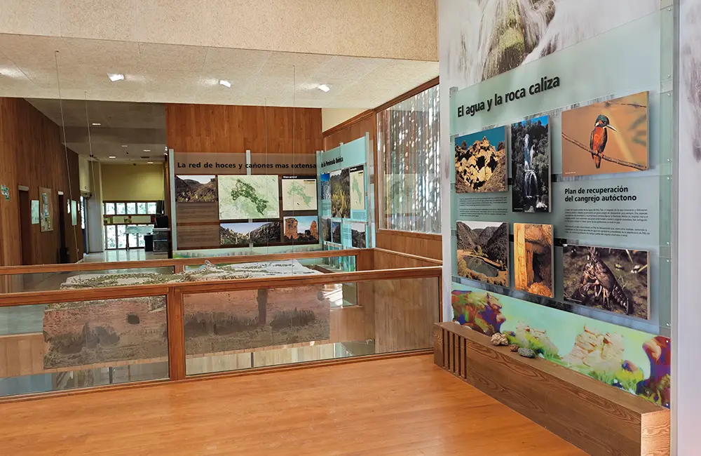
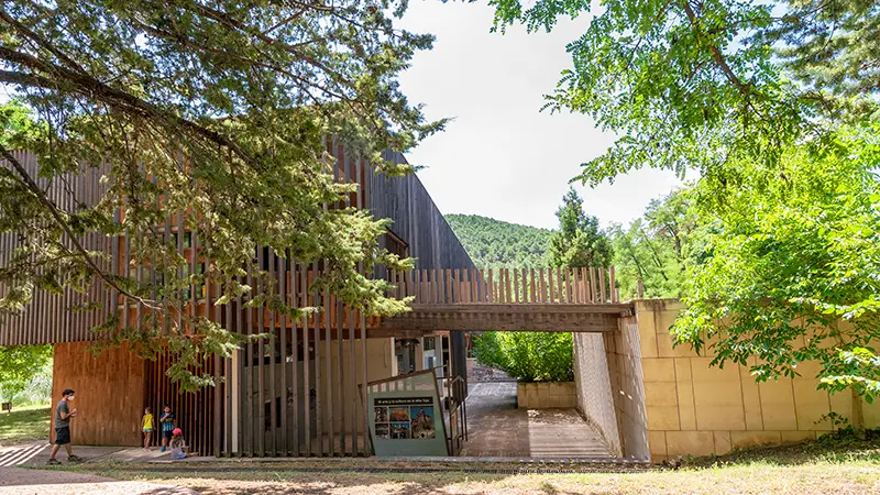
Alto Tajo Natural Park Visitor Centre 2: This is the main Dehesa de Corduente Visitor Centre in the Park. It offers plenty of information and has a lovely birdwatching hide on the lower level. Check the link to make sure it is open to the public.
Sanctuary of Montesinos 3: A beautiful spot in the sandstone ravine of the Arandilla River, with a picnic area, a chapel and a geological trail. Before reaching the sanctuary, the vegetation changes from oak woodland to a forest of maritime pine (Pinus pinaster).
Village of Cobeta 4: A picturesque village with a tower, a bar and a grocery shop.
Chozón Museum 5: A restored traditional juniper shepherd’s hut stands on the left-hand side of the road. You can park on the right and visit the shelter, which contains interesting information.
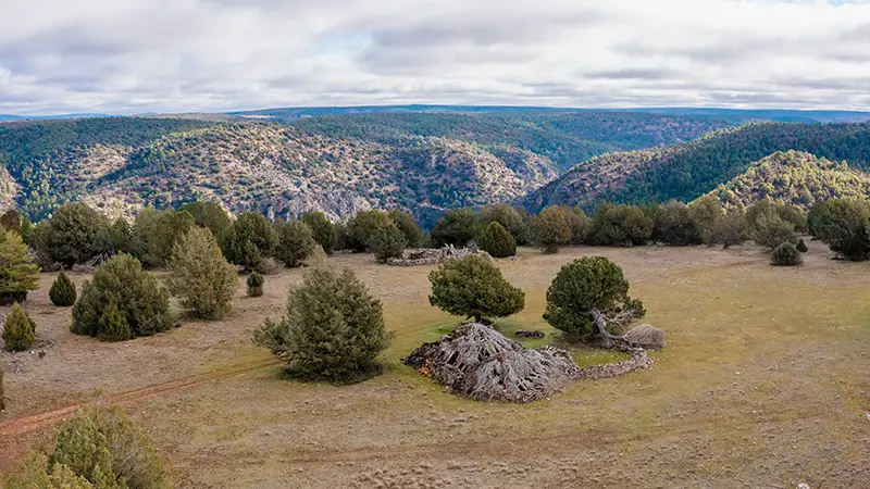
Dehesa of Olmeda and Celtiberian Hillfort 6: After passing through the village, take a dirt track to an informal parking area. From there, a 40-minute walk takes you through a magical landscape of open woodland with monumental trees to the well-preserved Celtiberian hillfort of Peña Moñuz, which also offers fine views.
The road from Olmeda to Villar de Cobeta is narrow and picturesque, passing through juniper woodlands and farmland. This is a good area for spotting red deer, fallow deer and roe deer.
Alpetea Castle 7: After passing Villar de Cobeta, look for a sign on the left-hand side for the GR-66 and GR-10 trails pointing to Alpetea Castle. From there, a dirt track suitable for ordinary cars leads onwards, although it is not recommended for vehicles with very low ground clearance. There is an informal parking area, from which a walk of around 30 minutes takes you to a spectacular viewpoint, with Civil War trenches and a 360-degree panorama over the Gallo and Tagus rivers.
San Pedro Bridge 8: A scenic, winding road with views of a U-shaped meander in the Tagus leads down to San Pedro Bridge, where the Gallo and Tagus rivers meet. It is a good place for a swim.
The route can also be driven in the opposite direction, starting in Zaorejas and finishing near Corduente (or Escalera if you take one of the extensions).
Extension to Escalera village 9: If you have a long day with plenty of daylight and are staying in Escalera, you can extend the route at either end to include a scenic road through juniper woodlands and lavender fields. There is a spectacular group of traditional juniper shelters just before reaching the village of Escalera. Allow 40 minutes.
Visit to Escaleruela Waterfall 10: This is a 40-minute walking trail marked as a geological route. It is particularly recommended during rainy or icy periods, when the shapes formed by the water at the waterfall are especially striking.
Note: There are several picnic areas and bars/restaurants along the route.