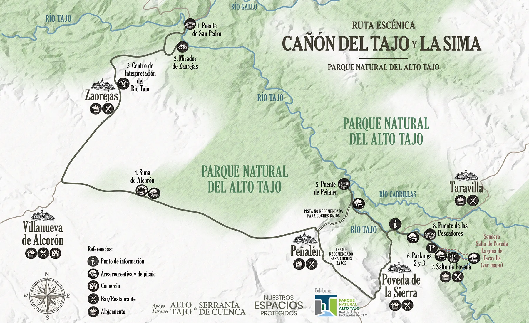
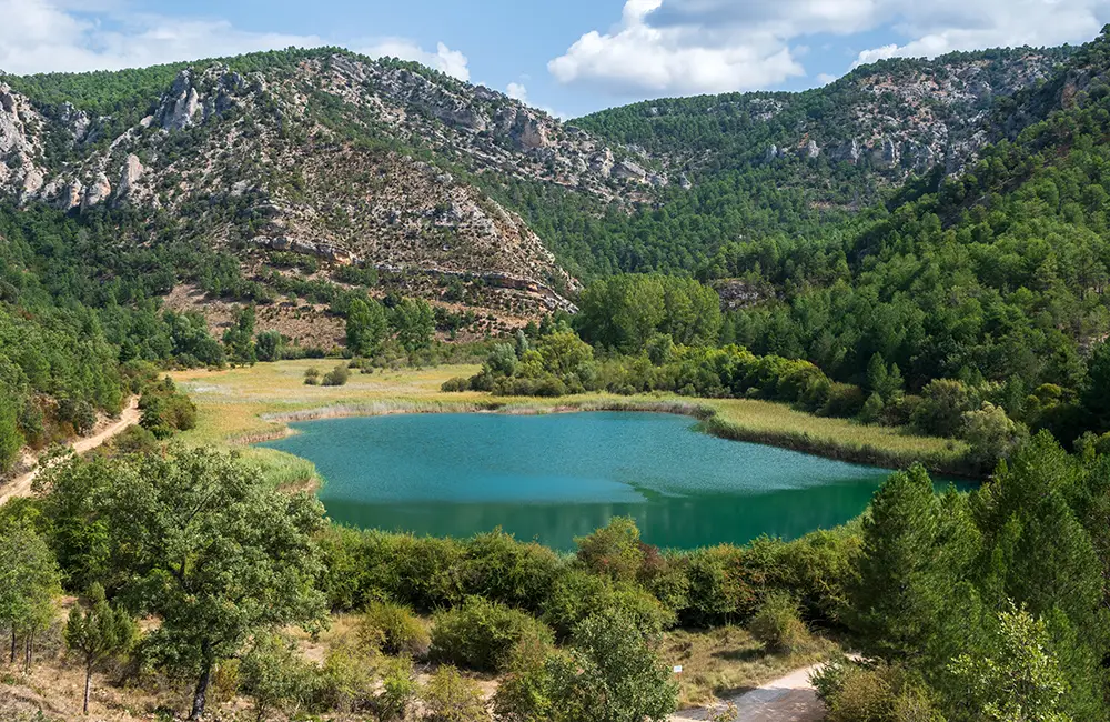
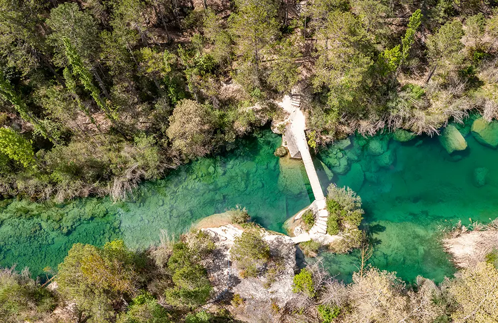
Enjoy one of the most emblematic areas of Alto Tajo Natural Park, starting at the confluence of the Tagus and Gallo rivers. Visit a viewpoint with panoramic views over the Tajo canyon, a well-equipped interpretation center about the territory and its relationship with the rivers, and discover a natural chasm that plunges deep into the earth. Drive along the track that follows the Tagus River through riverside forest, stopping at a beautifully restored bridge, and finish with what is probably the most popular walk in this protected area. Along the way, you’ll enjoy views of a spectacular waterfall, a magical mountain lagoon, and cross a suspension bridge over emerald-green waters. The route includes parking areas, swimming spots, wildlife observation points, picnic areas, and establishments offering restaurant services.
San Pedro Bridge 1: An iconic location where the Gallo River flows into the Tajo. It’s a perfect place to stop, enjoy a picnic, or simply take in the natural beauty. It is a popular swimming area in summer, so parking reservation and payment are required during those months.
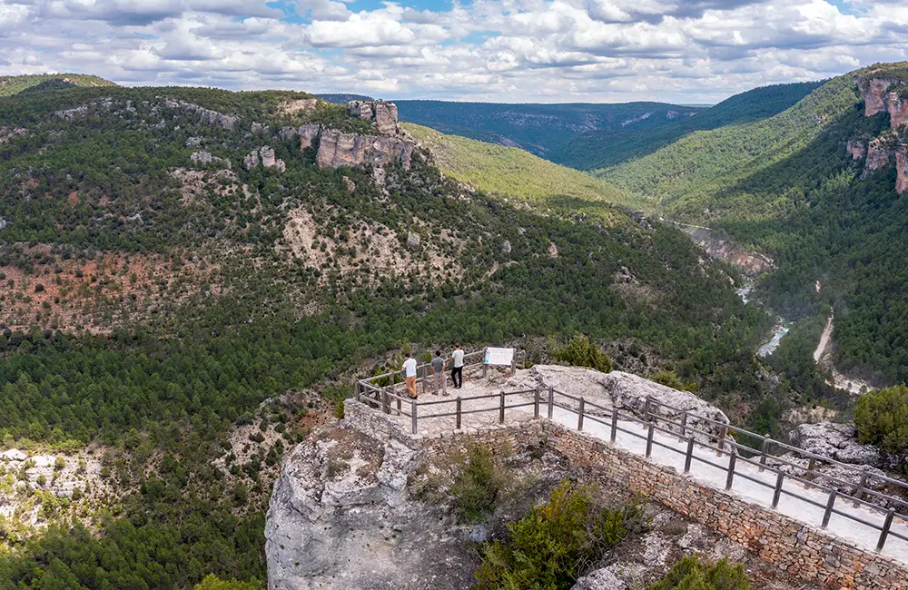
Zaorejas Viewpoint 2: A spectacular viewpoint overlooking the Tajo canyon. Griffon vultures, peregrine falcons, Egyptian vultures, and Iberian ibex are often spotted here.
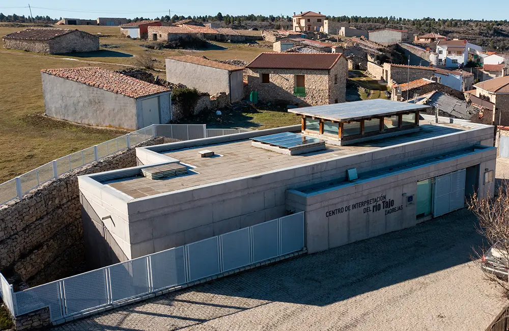
Tagus River Interpretation Center in Zaorejas 3: Provides excellent information about the river’s environments, species, and traditional uses. You can also eat or have a drink in the village of Zaorejas.
From Zaorejas to the Doline of Alcorón, the drive passes through a relatively flat and open area where deer, roe deer, and fallow deer are often seen at dawn or dusk.
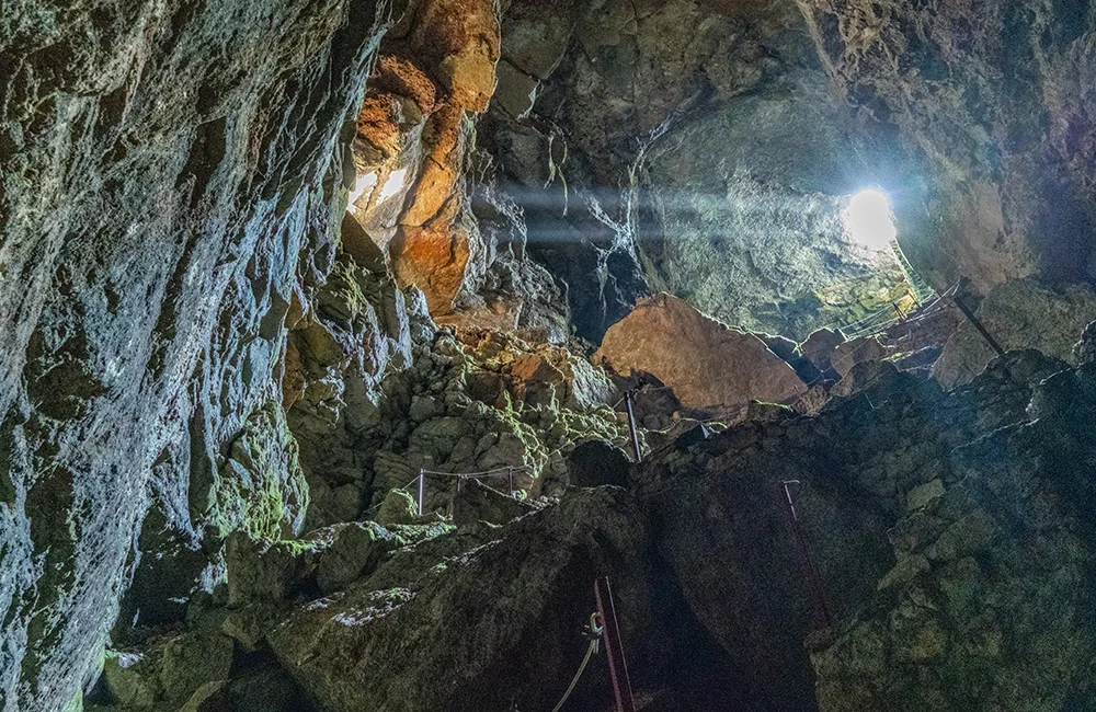
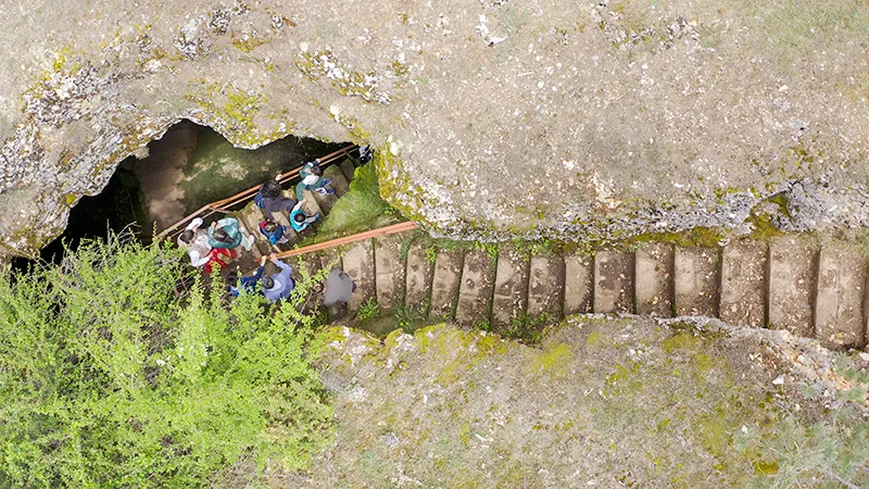
Doline of Alcorón 4: Descent into a deep sinkhole via a spectacular staircase, with a fountain at the bottom. A flashlight is required, even if it’s just your phone. Picnic area included.
From Peñalén, there are two alternative routes:
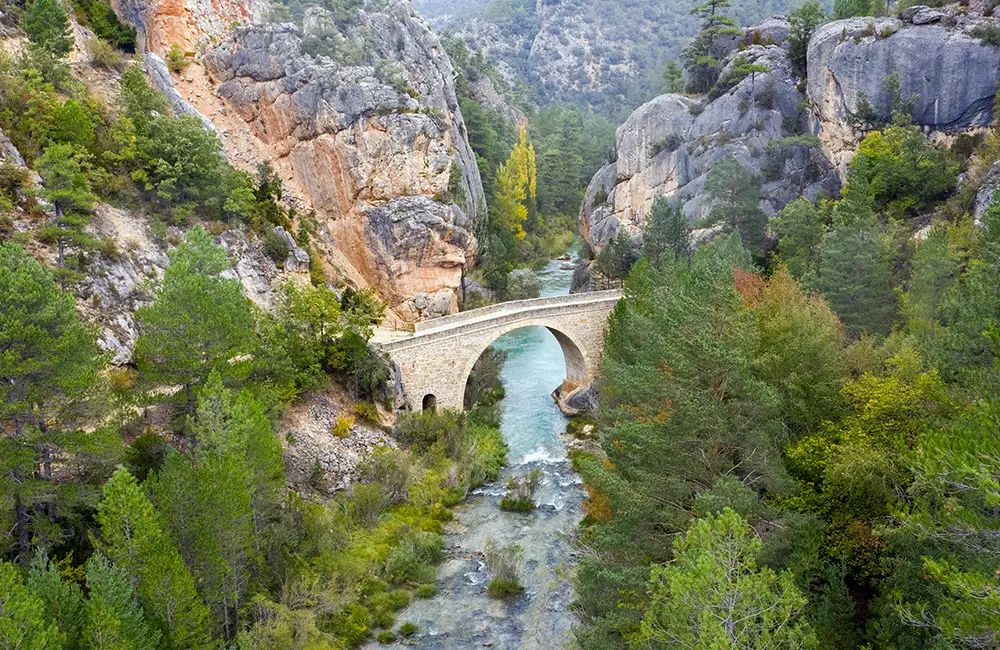
For vehicles that are not too low, a dirt track descends directly toward the Tagus and allows access to the Peñalén Bridge 5, a beautifully reconstructed bridge overlooking crystal-clear pools of the river. The area is ideal for a short walk and birdwatching. In July and August, parking is only allowed at the El Vivero recreational area (with prior reservation), and the bridge must be reached on foot (20 minutes, 1.5 km).
For very low vehicles or those wishing to avoid potentially uneven dirt tracks, the route continues on asphalt from Poveda until 1 km before the bridge over the Tagus, where a dirt track is taken on the left next to a small building, following the river to Peñalén Bridge.
From here, continue along the river track upstream toward the junction with the paved road. Turn left, and shortly after (before crossing the bridge over the Tagus), rejoin the river track upstream toward Salto de Poveda. There is an information point at Poveda Bridge, open on weekends and public holidays in summer.
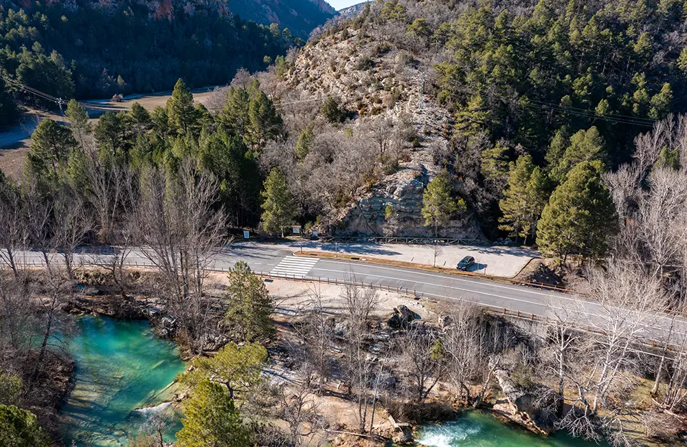
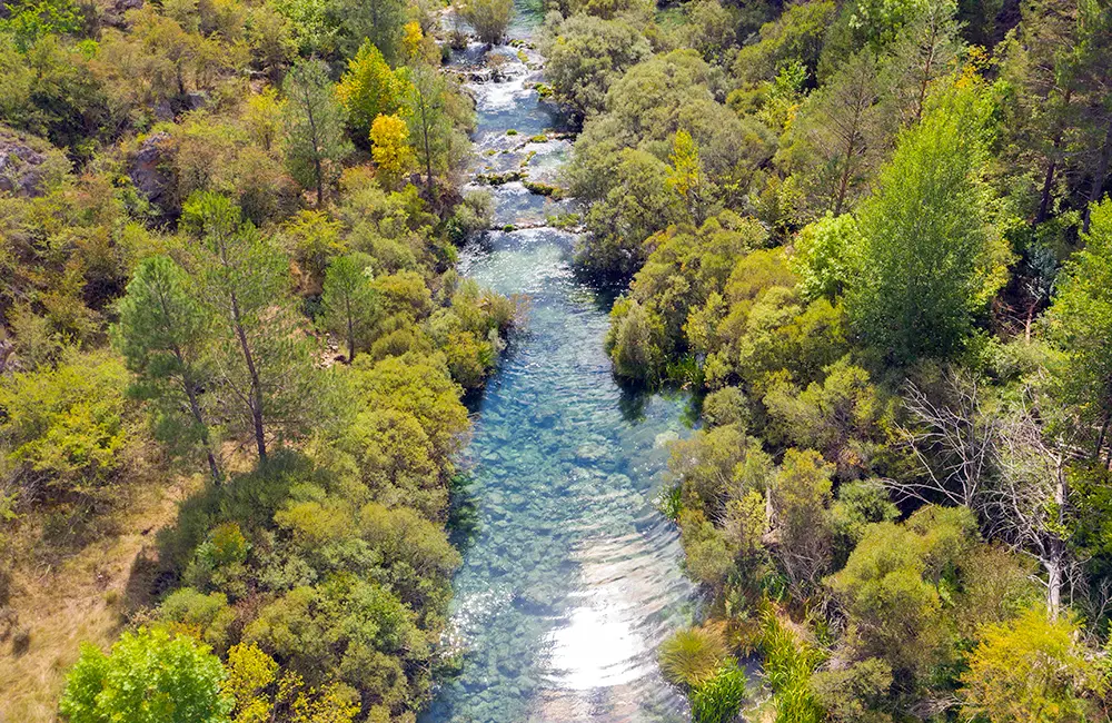
Driving along the Tagus track reveals not only the river’s crystal-clear waters but also a beautiful gallery forest with a great diversity of trees (especially stunning in autumn), surrounded by typical mountain pine forest and steep canyons.
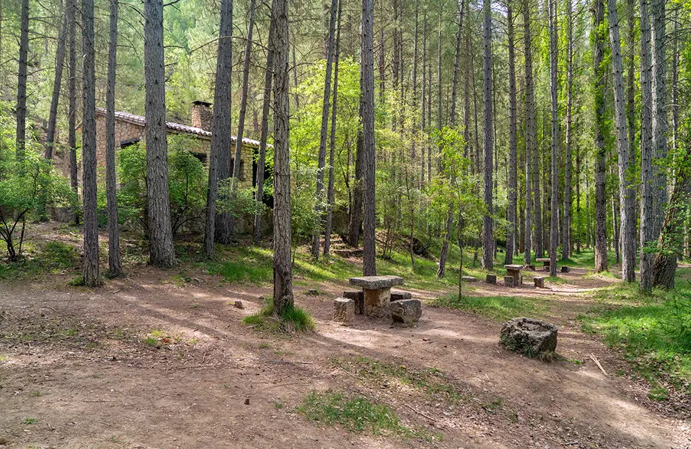
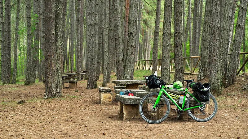
Along the Tagus track there are several authorized parking areas and picnic spots, as well as some natural springs with excellent drinking water.
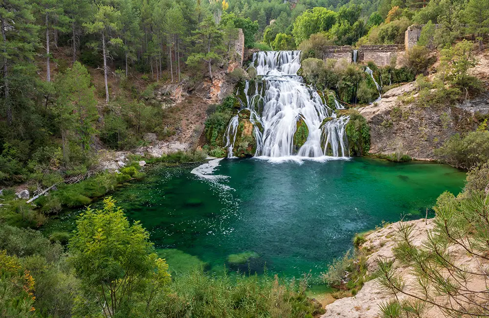
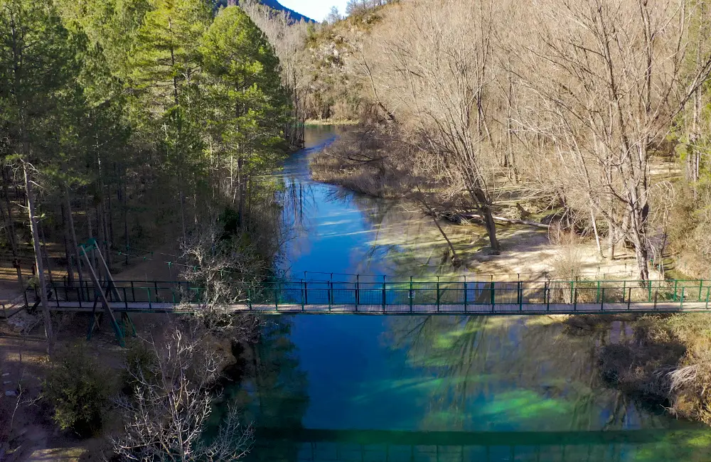
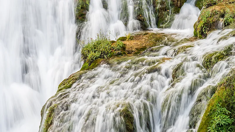
We recommend parking at lots 2 and 3 6 to begin the circular hike—one of the most spectacular in the Natural Park—which leads to Salto de Poveda 7, the suspension bridge, Laguna de Taravilla and Fishermen’s Bridge 8. Restaurant and accommodation services are available at Casas del Salto, located next to Salto de Poveda. Fishermen’s Bridge is a recommended swimming spot. Parking reservation and payment are required in summer, except for guests of Casas del Salto. The circular walk is 5 km long and takes approximately 90 minutes at a relaxed pace with stops for photos. Along the way, you’ll experience river landscapes, waterfalls, forest, lagoon, and dramatic canyon scenery.